Dated photographs, visible-flow observations and repeat records for a defined property question. A focused documentation service can stand alone or support a broader investigation.
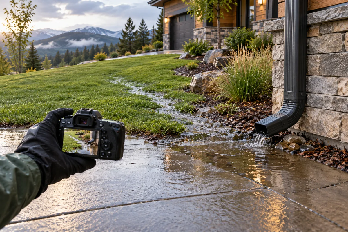
Concept illustration: Visible runoff and pooling being photographed after rain.
Choose what needs documenting.
01 / BASELINE
Baseline Condition Record
Establish the accessible conditions at a defined point in time.
Dated photos and reference locations
Visible swales, outlets, low areas and obstructions
Visit weather and access limitations
Plain-language captions describing observations
02 / EVENT
Rain-Event and Visible Flow Record
Record actual visible conditions during an agreed observation window when access is safe.
Visible flow, ponding, erosion and sediment
Time and observation-location references
Photos or video within the agreed scope
Reported history distinguished from direct observations
03 / REPEAT
Repeat Observations and Monitoring
Compare conditions at consistent locations over agreed visits.
Defined visit schedule or event triggers
Before-and-after comparison where available
Observed changes and unchanged conditions
Source-referenced condition chronology
Monitoring means agreed observation visits and records. Continuous sensors, automatic storm response and guaranteed event attendance are not included. Visit frequency, weather contingencies and additional fees are confirmed in writing.
WHAT YOU RECEIVE
An organized condition record.
The agreed deliverable may be a photo log, annotated exhibit set, comparison record or written chronology. Its purpose and audience are defined before work begins.
Observation contextProperty, dates, purpose, visit weather, access and limits.
Evidence referencesPhoto or video identifiers, captions and location references. Original records are distinguished from annotated copies.
Gaps and next stepsAreas not observed, unanswered questions and whether a broader investigation or separately engaged specialist may be useful.
DEFINED LIMITS
A record of observations, with their limits.
Dry-weather indicators do not establish storm performance. A photograph documents a view at a point in time; it does not alone determine a boundary, drainage capacity, causation or responsibility.
This service does not include engineering analysis or design, surveyed elevations or boundaries, legal opinions or guaranteed acceptance by an insurer, agency or court. Specialist services are separately engaged when needed.
START WITH THE PURPOSE
What needs recording, and when?
Share the property address, concern, existing photos, relevant event dates and intended use. We confirm authorized access, timing, deliverables and a written quote before accepting paid work.
Please text your inquiry or email us with your name, property address and concern. Calls are by appointment only, after we review your inquiry and confirm a time by text or email.