Where does the ground fall?
Compare the labeled contours and their spacing. Identify broad uphill and downhill relationships, then confirm local grades and low points in the field.
 COLORADOHOME CONSULTANT
LAND · CONTOURS · ROAD CORRIDORS
Understand visible drainage conditions, water pathways, and the next steps for your property.
Read the terrain, trace potential downhill pathways, and identify where field observations and drainage records are needed.
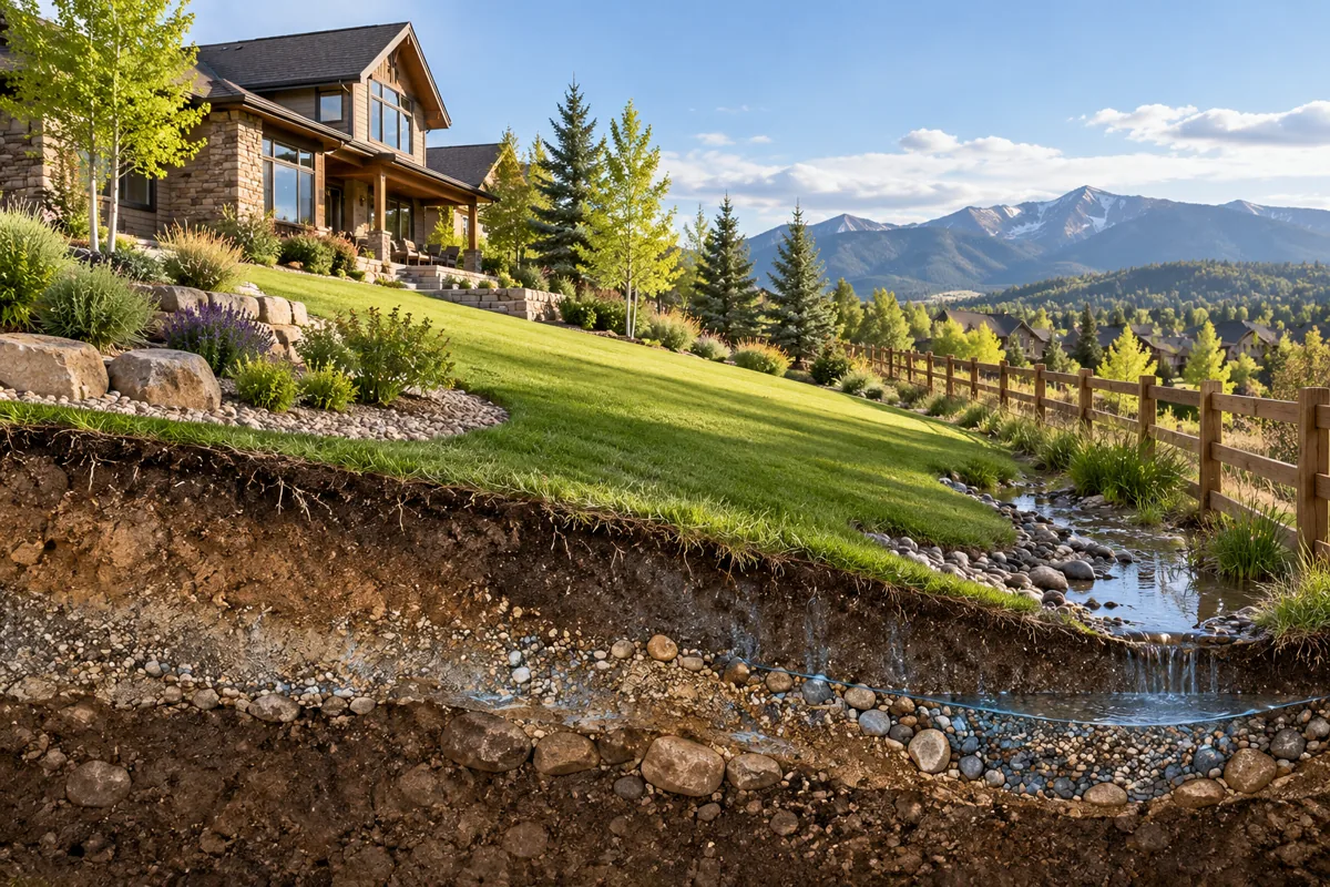
Compare the labeled contours and their spacing. Identify broad uphill and downhill relationships, then confirm local grades and low points in the field.
Document roadside slopes, visible ditches, crossings and discharge points. Check plats and road records to establish the right-of-way and drainage facilities.
Record visible ponding, erosion, sediment and water entry points. Distinguish observed flow from a potential pathway and connect each finding to a location and date.
Share your property question, maps, event dates and photographs. We agree on records review, field observations and documentation before work begins.
Explore land and stormwater investigations · Surface-water documentation
Visible water pathways, land conditions and road-corridor questions within the agreed scope.
Location-referenced observations, relevant records and a clear distinction between observed and potential pathways.
Maps alone do not verify storm flow, surveyed boundaries, rights-of-way, drainage capacity or responsibility.
Please text your inquiry or email us with your name, property address and concern. Calls are by appointment only, after we review your inquiry and confirm a time by text or email.